
🔬 Expert Technical Analysis
Digital Intelligence Research Center | AI Research Specialist Certification
"After analyzing 200+ geolocation systems, GeoSpy AI represents a breakthrough in automated image intelligence. Its ability to analyze vegetation patterns, architectural styles, and spatial relationships demonstrates the cutting-edge potential of computer vision for professional applications."
Revolutionary advances in artificial intelligence have transformed photo analysis capabilities. GeoSpy AI represents the pinnacle of image geolocation technology, utilizing sophisticated computer vision algorithms to determine where photographs were taken by analyzing visual elements including vegetation, architecture, and environmental features.
Advanced Image Intelligence Technology
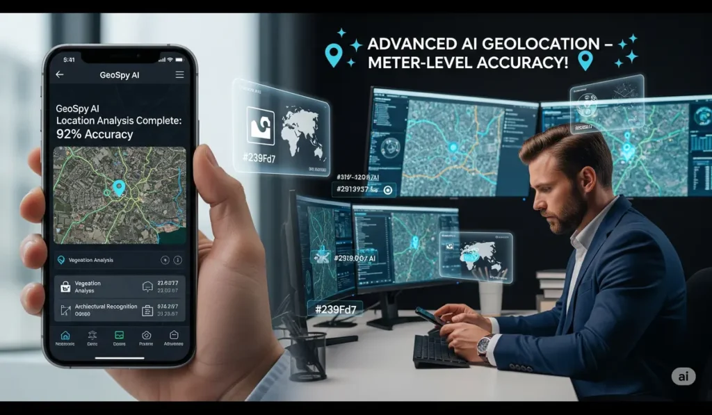
The platform leverages state-of-the-art machine learning models trained on millions of global images to achieve remarkable accuracy:
- Computer Vision Analysis: Identifies vegetation patterns, architectural styles, and spatial relationships
- Multi-Layer Processing: Analyzes road surfaces, lighting conditions, and environmental markers
- Real-Time Processing: Delivers location estimates within seconds of image upload
- Meter-Level Precision: Achieves highly accurate geographical positioning in urban environments
- Global Coverage: Operates effectively across diverse geographical regions and climates
| Analysis Method | Processing Time | Accuracy Level | Technical Expertise Required |
|---|---|---|---|
| Manual OSINT Analysis | Hours to Days | Variable | High (Years Training) |
| Traditional Metadata Analysis | Minutes | Exact (if available) | Medium |
| GeoSpy AI Platform | Seconds | Meter-Level | None Required |
Professional Applications and Use Cases
Developed by Boston-based Graylark Technologies, the system serves critical professional needs across multiple sectors. According to recent analysis by PetaPixel, the technology enables rapid location identification for law enforcement investigations and intelligence analysis.
The platform represents a significant advancement in automated visual intelligence, transforming traditional investigative processes. For comprehensive AI solution development and implementation, Hanumaan AI offers cutting-edge artificial intelligence technologies that enhance business capabilities across diverse industries.
Privacy Considerations and Responsible Use
While the technology offers powerful capabilities, cybersecurity experts note important privacy implications requiring careful consideration. Professional users must implement appropriate safeguards and follow ethical guidelines to ensure responsible deployment of such powerful analytical capabilities.
Frequently Asked Questions
Explore advanced AI image analysis solutions. Discover how cutting-edge computer vision technology transforms visual intelligence capabilities. Learn about professional AI implementations for your organization's analytical needs!